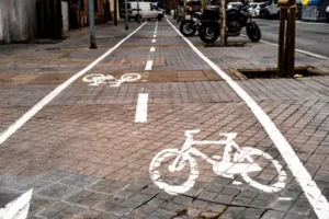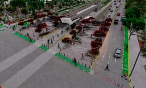

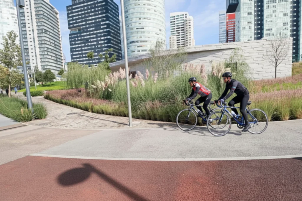
La Mexicana Park Cycle Path is now a key destination for people who ride bicycles in and around Santa Fe. Since 2017, the park has transformed mobility patterns in the western area of the city by connecting architecture, green spaces, and cycling routes that work together as part of the urban environment. As a result, riding through this cycling corridor has become part of the daily routine for residents, commuters, and visitors seeking a clear route to move through an active urban setting.
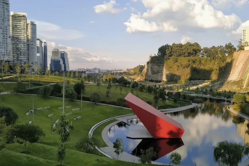
Inside the park, the cycling route provides nearly 1.2 miles surrounded by vegetation and water features. In addition, the views of the surrounding buildings create a greater sense of openness throughout the area. At an elevation of approximately 2,400 meters above sea level, La Mexicana Park’s cycling route, combined with tartan and rubber surfaces, provides a stable and comfortable experience for both beginners and daily cyclists.
An Accessible Cycling Path Within La Mexicana Park
The bike route also lowers the barrier for new cyclists by making the cycling way easier to access. Located on the terrace across from the pedestrian street, a bike rental station allows visitors to start their ride without needing their own bicycle. This option is particularly convenient for people who work in Santa Fe or visit the park and want to explore the route right away. In addition, the park’s operating hours, from 5 a.m. to 9 p.m., allow the cycling environment to remain active throughout the day.
The wide paths and rest areas create a balanced shared space where cyclists and pedestrians can move comfortably. The layout supports clear crossings and a continuous flow, allowing different users to navigate the area efficiently. Moreover, these features enhance the experience for people who use this urban route for daily transportation, recreation, or exercise.
The Extension Along Avenida Luis Barragán
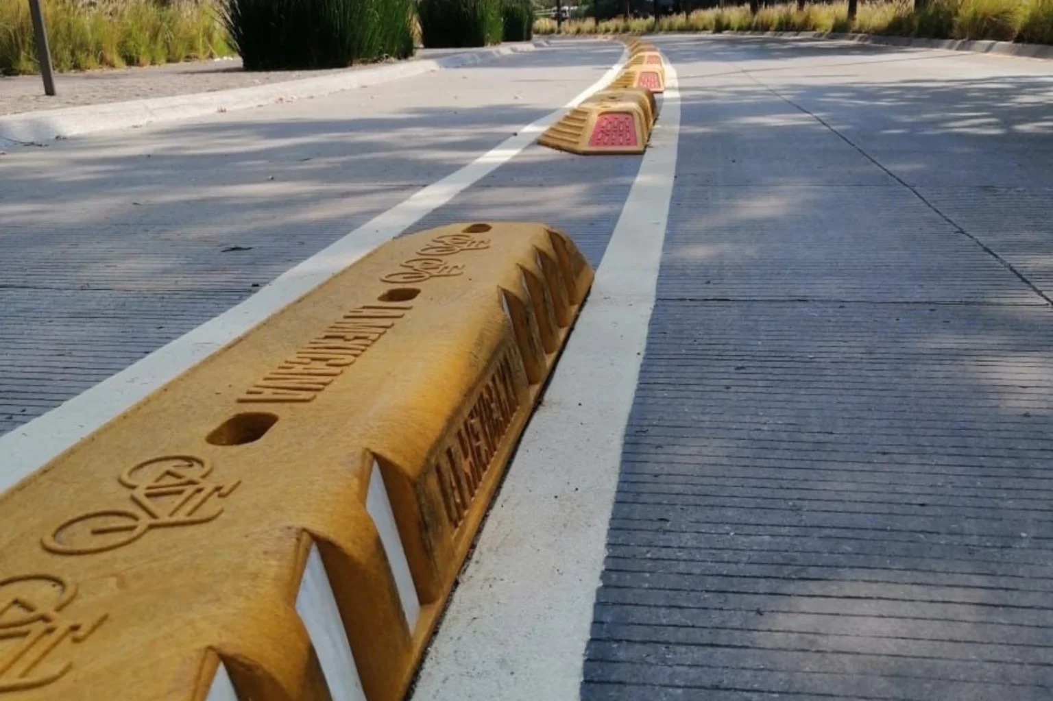
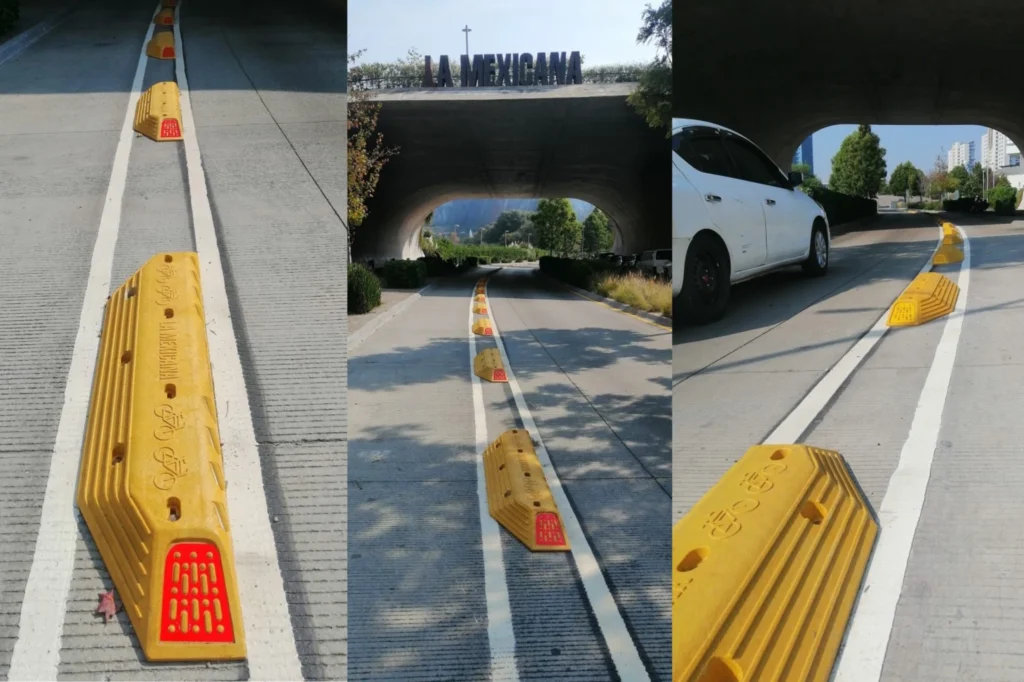
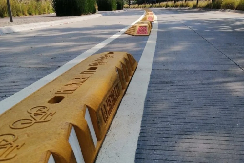
In 2025, the cycling route expanded beyond the park’s boundaries with a new connection to the surrounding city. Along a 560-meter stretch of Avenida Luis Barragán, the H7-40 Bike Lane Delineator was implemented to create a protected section linking the park’s internal cycle path with the broader urban network. This intervention provides clearer organization between vehicles and cyclists, reducing conflicts and improving mobility in an area with significant traffic demandte.
The outdoor section also expands the experience of La Mexicana Park Cycle Path beyond the park’s boundaries. Surrounded by trees, entrances, and open spaces, this extension allows cyclists to navigate the perimeter with greater safety and continuity. Moreover, the connection between the interior and exterior sections creates a more integrated cycling experience, providing a seamless link between the park and Santa Fe.
Urban Mobility Along La Mexicana Cycle Path
Santa Fe combines offices, housing, retail, and services, making cycling a practical option for short-distance trips. This cycling route provides a direct link for people who work in nearby office areas. As a result, users can connect from the park’s pedestrian entrances to surrounding avenues without depending on cars, strengthening the role of the cycling corridor within the area’s urban mobility network.
The internal cycling loop provides an accessible starting point for beginner cyclists, while the extension along Luis Barragán connects the park’s route with the surrounding streets. Together, these sections create a more complete cycling experience for riders of different skill levels and improve Santa Fe’s active mobility network.
Safe Cycling on La Mexicana Park Cycle Path
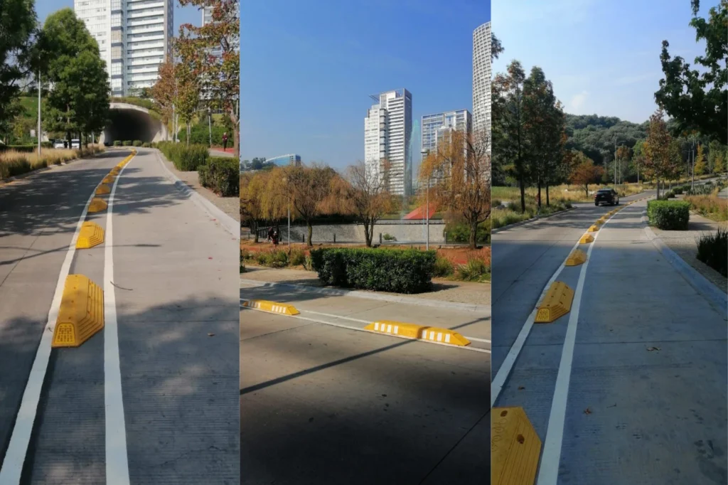
The bike route accommodates cyclists of different experience levels, making basic safety practices essential for a comfortable and secure ride. Maintaining control of the bicycle, signaling before overtaking, and following the designated route direction help create a safer environment for all users. These principles also apply to the outdoor section along Avenida Luis Barragán, where bike lane delineators provide separation between cyclists and vehicle traffic. However, this protection depends on respecting the established flow, as riding in the opposite direction reduces reaction time and increases the risk of conflicts with other users.
By following these recommendations across both sections, the route remains clear and safer for everyone who travels through this western Mexico City cycling corridor.
A Cycling Route That Enhances Santa Fe’s Urban Connectivity
The true value La Mexicana Park Cycle Path lies in its evolution from a recreational amenity into a functional mobility corridor. The extension along Luis Barragán Avenue strengthened connections between key destinations in Santa Fe and improves safety and expands sustainable transportation choices.
Similarly, the Reforma Cycling Corridor has become a model for cycling mobility in Mexico City. Since its creation in 2010, it has transformed one of the capital’s most important avenues by introducing safer, better-connected infrastructure that prioritizes cycling. Over time, the corridor has continued to evolve through improvements such as new channelization devices, urban redesigns, and stronger connections with other mobility systems. Moreover, this historic avenue demonstrates how urban spaces can evolve toward an active mobility model that benefits cyclists, pedestrians, and transit users.