
Fifteen years on, the Reforma Cycling Corridor continues to stand as one of Mexico City’s most transformative urban mobility projects. Before its creation, riding a bicycle along Paseo de la Reforma required patience, heightened alertness, and almost survival instincts: constant traffic, difficult intersections, and a setting not designed for those seeking alternatives to driving. The 2010 intervention opened a long‑awaited path for the city and has since reshaped the way this iconic avenue is perceived within Mexico City’s cycling network. Beyond the practical function of cycling infrastructure, it stands as a symbol of how thoughtful design can reshape urban identity and foster sustainable mobility.
Genesis of Reforma Cycling Corridor
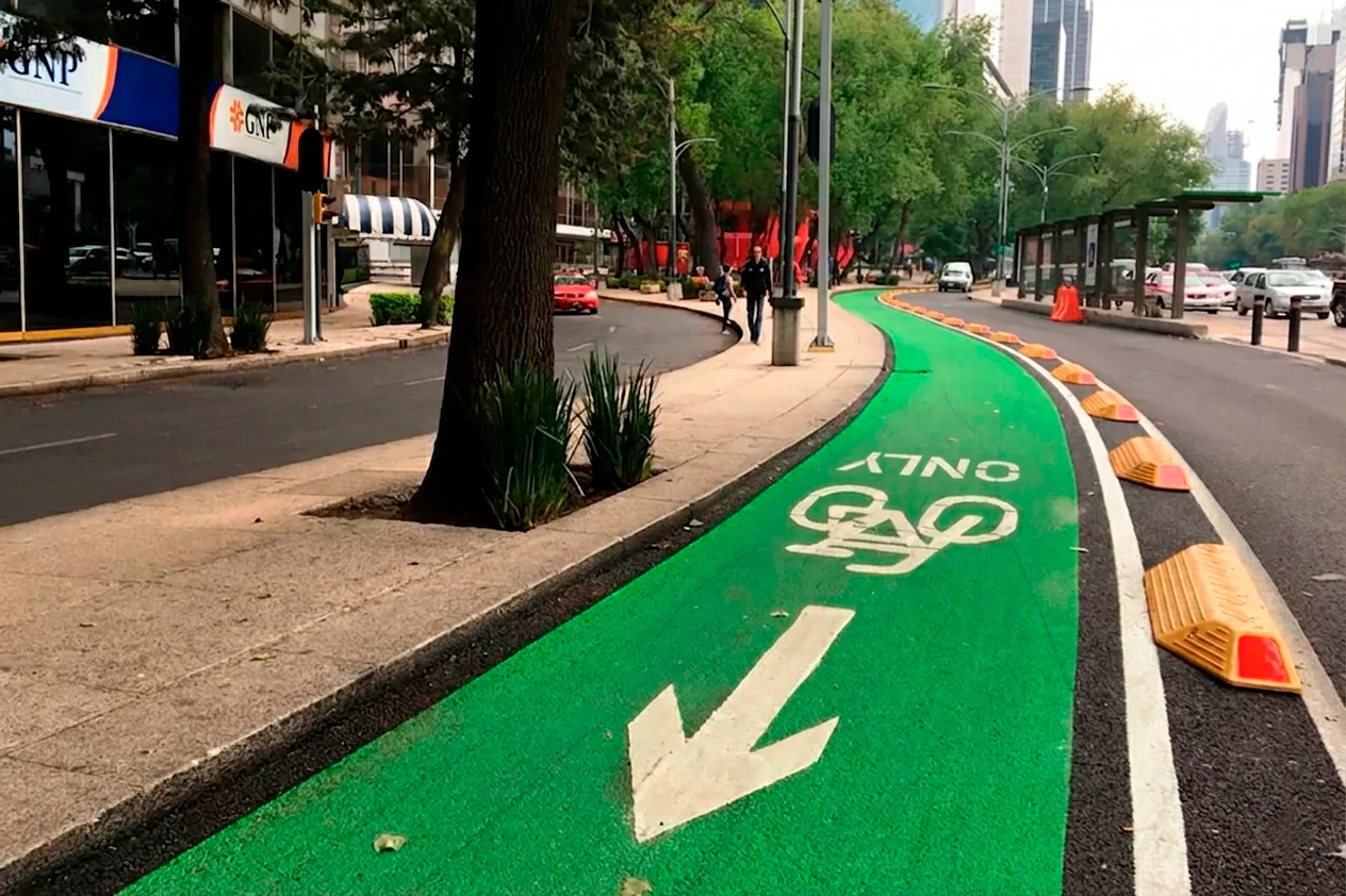
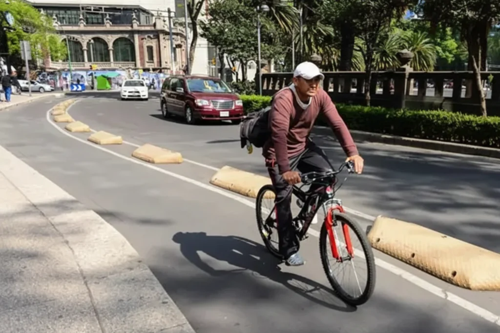
This bike lane began with a 4.2‑mile stretch linking Lieja and Balderas streets. The ITDP highlighted it as Mexico’s first cycling infrastructure built under formal technical criteria: effective confinement, clear wayfinding, and a design that finally prioritized cyclists.s. Initially, this involved installing the pioneering Confibici devices, a practical solution for a city taking its first steps in non‑motorized mobility. As cycling numbers grew, these devices were replaced by the H7 Bike Lane Delineator — more visible, more durable, and better adapted to a corridor with increasingly constant traffic.
The transformation not only reduced conflicts with motorists but also demonstrated that road space could be allocated more equitably among different users. Reforma evolved from a corridor dominated by motorized traffic into a recognized cycling route within the city’s transportation network. More importantly, the project showed how urban streets can be redesigned to support sustainable mobility while accommodating multiple modes of travel. As a result, the avenue became a benchmark for cities seeking to create a more balanced, accessible, and people-oriented public realm.
Urban Evolution of Paseo de la Reforma
To speak of Reforma Avenue is to speak of monuments, museums, offices, culture, corporations, and countless daily trips. Any modification, however minor, has an immediate impact on the city’s rhythm. The cycleway was the starting point of a wider transformation: reconfigured intersections, renewed traffic signals, ramps, bicycle parking, and restored sidewalks.
In 2018, the launch of Line 7 of the Metrobús system marked another important chapter in the transformation of Paseo de la Reforma. The project included the installation of more than 1,200 traffic signal controllers, the renovation of 29,900 yd2 of sidewalks, and the addition of new safety measures for pedestrians and cyclists. Upgrades to the storm drainage system and underground utilities further modernized the corridor.
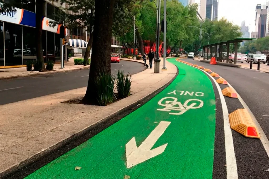
In 2020, a 2-mile shared path was built in the median, designed to meet the preservation requirements of a historic corridor. Although it promoted recreational use, ITDP experts noted that right‑side one‑way lanes — with adequate separation and clear visibility — provide greater safety for daily mobility.
What Reforma Cycling Corridor Stands For Today
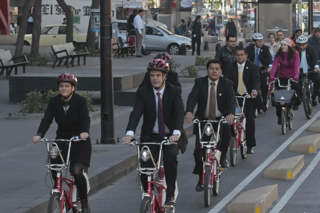
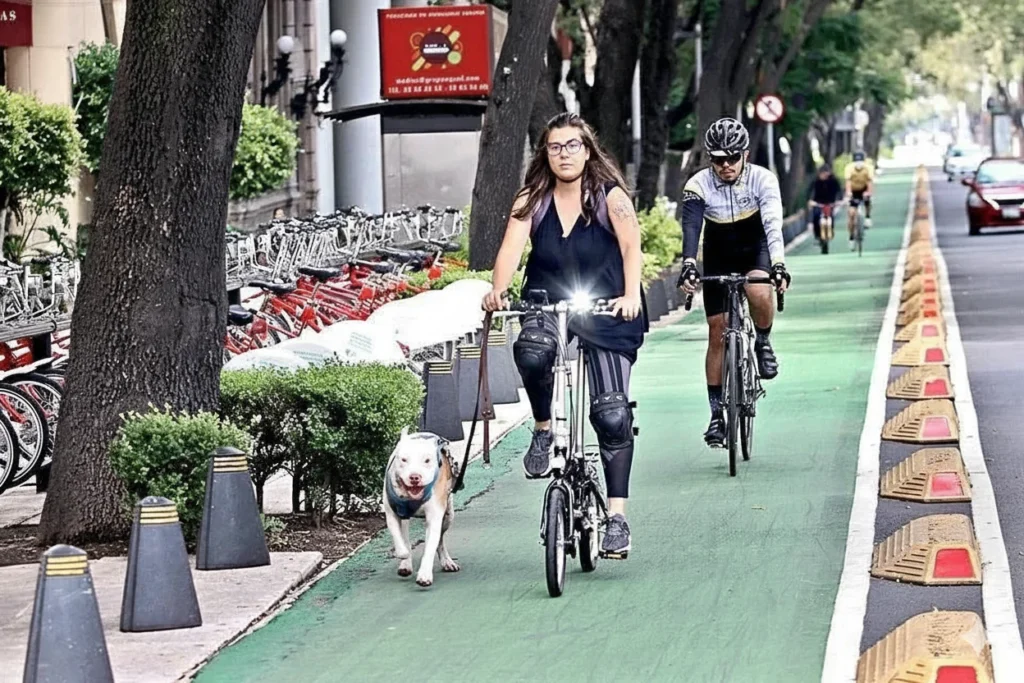
After fifteen years, the Reforma Cycling Corridor is woven into daily routines: linking neighborhoods, museums, tourist attractions, and public transportation stations. Over 247,000 people benefit directly from this route, which has grown into an essential part of Mexico City’s cycling infrastructure. The bicycle is no longer regarded as marginal; it is now recognized as a practical, reliable means of transport that responds to the demands of urban living.
Paseo de la Reforma demonstrated that a historic avenue can adapt without losing its character. The growing presence of cyclists, alongside pedestrians and transit users, created a more balanced environment in one of the city’s busiest corridors. Its long-term success shows that well-designed infrastructure attracts users naturally. Today, the avenue illustrates how heritage and modern mobility can coexist.
Reforma Cycling Corridor as a Model
The impact of this corridor goes beyond its own extension. The development of the project became a reference for other routes that, under different contexts, followed a similar process. A clear example is the Insurgentes Sur Cycling Corridor, which evolved from an emergency response into one of the most used cycling axes in the city. Moreover, the history of this corridor helps us understand how infrastructure can change as infrastructure adapts to user requirements — just as occurred with Reforma.
The true value of Parque La Mexicana Cycling Corridor lies in its evolution from a recreational amenity into a functional mobility corridor. The extension along Luis Barragán Avenue strengthened connections between key destinations in Santa Fe and improves safety and expands sustainable transportation choices. In many ways, it shares the same purpose as the Reforma Cycling Corridor: rethinking urban travel by offering practical, connected, and accessible alternatives to car-dependent mobility.
What’s Next in the Evolution of This Corridor?
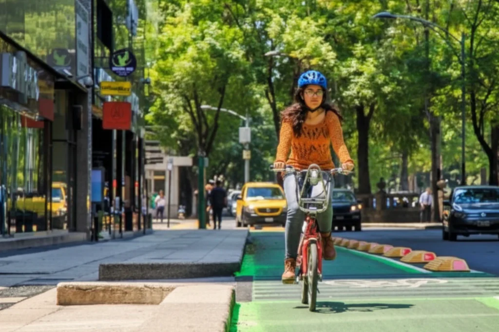
The Reforma Cycling Corridor is not a static piece of infrastructure. Its development has unfolded through a series of improvements, from the original Confibici Bike Lane Delineators and H7 Bike Lane Delineators to redesigned intersections, Metrobús system upgrades, network connections, and pedestrian enhancements introduced over time. Together, these changes reflect a dynamic corridor that continues to evolve alongside the city’s mobility needs and growing demand for active transportation.
The impact of this corridor extends far beyond its physical design. It has demonstrated that strategic investments in cycling infrastructure can redefine public space, improve everyday mobility, and encourage more sustainable travel choices. As new corridors emerge across the city, Reforma continues to serve as a model for the next generation of urban mobility projects.